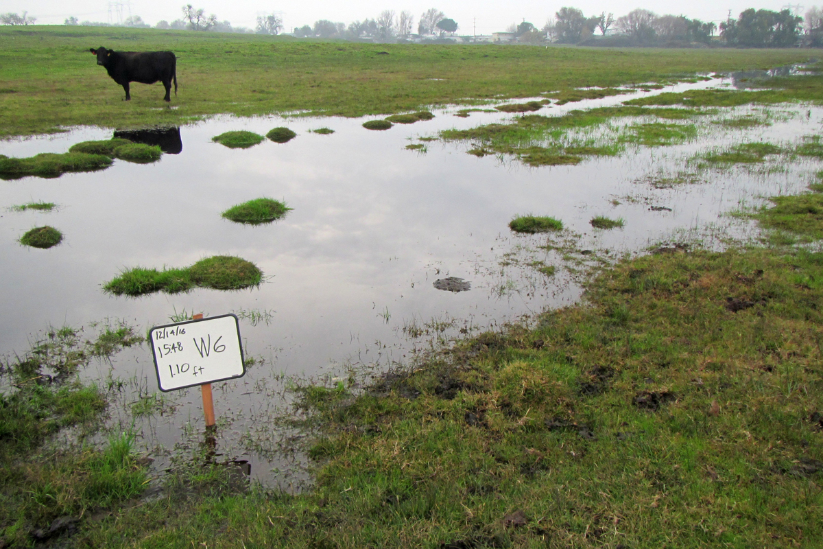
The Cypress Preserve Project (Project) is a large-scale mixed-use and density diverse master-planned community in eastern Contra Costa County. The Project avoids and preserves 129.4 acres of jurisdictional Waters of the U.S. (WOUS) and provides wetland mitigation and preservation through two (2) preserves, the North Preserve and the South Preserve. Balance staff developed preliminary mitigation wetland designs for the North Preserve.
The North Preserve is proposed to preserve, enhance, and create compensatory mitigation to meet the requirements of the USACE and the East Contra Costa County Habitat Conservation Plan/Natural Community Conservation Plan (HCP/NCCP). The 260.79-acre North Preserve includes the preservation of 78.72 acres of WOUS, which accounts for approximately 59 percent of the Projects’ waters and wetlands. Special-status plant and wildlife species including the Suisun Marsh aster (Aster lentus), Western pond turtle (Clemmys marmorata), Western burrowing owl (Athene cunicularia hypugea), and, Swainson’s hawk (Buteo swainsoni), will also benefit by establishment of the Preserve.
The Preserves were selected based on the amount of existing aquatic resources to be protected and proximity to the impact site. The proposed mitigation wetland design is based on hydrologic, geomorphic, and biological studies conducted within the Project area, knowledge of regional biological issues, along with formal and informal consultations with regulators including the USACE, East Contra Costa County Habitat Conservancy, Central Valley Regional Water Quality Control Board (RWQCB), U.S. Fish and Wildlife Service (USFWS), California Department of Fish and Wildlife (CDFW), and National Oceanic Atmospheric Administration (NOAA) National Marine Fisheries Service (NMFS).
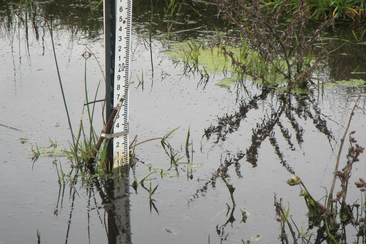
Balance staff resumed monitoring of groundwater levels in 2015. These data were combined with groundwater monitoring data collected from 2005-2007. Results were used to establish target excavation depths for mitigation wetland designs in the North Preserve. Conductivity data collected during groundwater monitoring provided insight to the project biologist and aided in establishing the appropriate vegetative communities.

